

Key Takeaways
- Download offline transit maps before arrival — cell service in tunnels and foreign networks is never guaranteed.
- Learning one key route thoroughly builds confidence faster than trying to understand an entire system at once.
- Fare systems vary widely by city; knowing the local payment method before you arrive prevents costly mistakes.
- Physical orientation — knowing which direction you're heading above ground — reduces disorientation when you exit a station.
- Transit apps built for local commuters typically outperform general mapping apps in accuracy and real-time updates.
Why Transit Anxiety Is a Planning Problem, Not a Personal One
Most transit confusion isn't caused by complex systems — it's caused by arriving without a mental framework for reading them. The London Underground, Tokyo's Yamanote Line, and Mexico City's Metro each follow an internal logic that becomes surprisingly accessible once you know what to look for. The panic comes from encountering that logic cold, in a rush, often with luggage.
Good preparation doesn't mean memorizing every line. It means building enough familiarity that the system feels navigable rather than foreign. That shift happens faster than most travelers expect — usually within the first full day of use. Pair this approach with the broader habits in our guide to travel safety habits and you'll move through unfamiliar cities with considerably more ease.
Download offline transit maps and apps before you leave your accommodation.
Underground stations and many international networks have poor or nonexistent cell coverage. Relying on live data guarantees at least one moment of helplessness mid-journey. Offline maps eliminate that single point of failure entirely.
Identify and master one anchor route on your first day.
Trying to learn an entire network simultaneously is cognitively exhausting and unnecessary. One well-understood route — from your accommodation to a central hub — gives you a reliable fallback and builds the pattern-recognition that makes other routes easier to decode.
Use transit apps built for local commuters, not tourist overlays.
Apps designed for daily commuters reflect real service schedules, planned disruptions, and platform-level details that tourist-facing tools often flatten or omit. They also tend to be updated faster when services change.
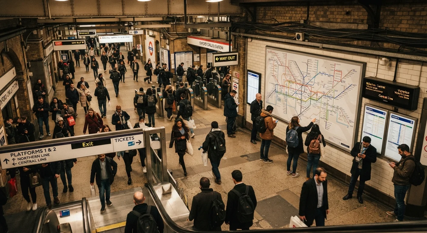
Photograph the system map at the station before you need it urgently.
Station maps often show interchange points, accessible routes, and neighborhood context that app views compress or hide. Having a photo means you can zoom in and study it without standing at a crowded information board.
Travel outside peak hours for your first few independent journeys.
Rush-hour transit in dense cities is physically and cognitively demanding even for locals. A quieter train gives you time to read signs, observe how boarding works, and make mistakes without crowd pressure.
Core Practices for Reading Any Transit System
The following approaches work across metro, tram, and bus networks worldwide — from grid-based North American systems to the layered complexity of Tokyo or Paris. Applying even three or four of these consistently will substantially reduce friction on arrival.
Managing Fares, Cards, and Payment Surprises
Payment is where transit trips most commonly go sideways. Cities handle fares in dramatically different ways: flat-rate systems, zone-based pricing, time-window passes, contactless bank card acceptance, and city-specific transit cards that require a refundable deposit. Arriving at a turnstile without the right payment method — especially during peak hours — creates real pressure.
Fare Validation Rules Vary Widely
Some cities require you to validate your ticket both when boarding and when exiting — failing to do so on exit can result in a fine even if you paid correctly. Others use open platforms with random inspections. Check the local fare rules for your destination before your first journey, ideally on the official transit operator's website. This detail is rarely covered in general travel guides but matters immediately on arrival.
For complex networks like Tokyo's, where multiple private operators and a subway system overlap, our Tokyo orientation guide covers exactly which cards work across which lines. More broadly, researching a city's transit payment norms sits naturally inside the destination research process described in our destination research guide.
60+
Cities with Citymapper offline transit support
Citymapper's offline mode covers over 60 major metropolitan areas, making it one of the more comprehensive tools available to international travelers preparing in advance.
~40%
Of international travelers report transit confusion on arrival
Surveys by travel research organizations consistently find that navigating local public transit ranks among the top sources of stress for first-time visitors to unfamiliar cities.
Orienting Yourself When You Exit the Station
Subway exits are one of the most disorienting moments in urban transit. Many systems — particularly in East Asia — label exits by number or letter and indicate which streets or landmarks each serves. Using the correct exit can save five minutes of confused sidewalk navigation; using the wrong one in a dense city can leave you a full block in the wrong direction with no visible landmark to correct against.
Before descending to any platform, note the cardinal direction you need to travel and one or two visible landmarks near your destination. When you resurface, pause for 15–20 seconds before committing to a direction. This habit, practiced consistently, becomes automatic within a day. It also fits naturally into the kind of unhurried daily pacing recommended in our day-by-day itinerary guide — leaving buffer time means a wrong exit is an inconvenience, not a crisis.
“The traveler who stops to observe before acting will almost always reach the destination faster than the one who charges forward confidently in the wrong direction.”
— Paul Theroux, Travel writer and author of The Great Railway Bazaar